
Thank you for supporting this site ❤️
Make a donation
Make a donation
Gear up for your next adventure:
As an Amazon Associate, this site earns from qualifying purchases at no extra cost to you.
Amboseli topographic map
Click on the map to display elevation.
Thank you for supporting this site ❤️
Make a donation
Make a donation
Gear up for your next adventure:
As an Amazon Associate, this site earns from qualifying purchases at no extra cost to you.
About this map
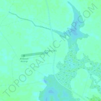
Name: Amboseli topographic map, elevation, terrain.
Location: Amboseli, Etonet/Lenkism ward, Loitokitok, Rift Valley, Kenya (-2.66333 37.23908 -2.62333 37.27908)
Average elevation: 1,132 m
Minimum elevation: 1,128 m
Maximum elevation: 1,135 m
Thank you for supporting this site ❤️
Make a donation
Make a donation
Gear up for your next adventure:
As an Amazon Associate, this site earns from qualifying purchases at no extra cost to you.