
München topographic map
Interactive map
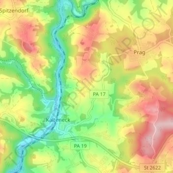
Click on the map to display elevation.
About this map
Name: München topographic map, elevation, terrain.
Average elevation: 424 m
Minimum elevation: 324 m
Maximum elevation: 535 m
Other topographic maps
Click on a map to view its topography, its elevation and its terrain.
Auretzdorf
Deutschland > Bayern > Landkreis Passau > Kalteneck > Auretzdorf
Auretzdorf, Kalteneck, Hutthurm, Landkreis Passau, Bayern, 94116, Deutschland
Average elevation: 428 m