
Petit-Enghien topographic map
Interactive map
Click on the map to display elevation.
About this map
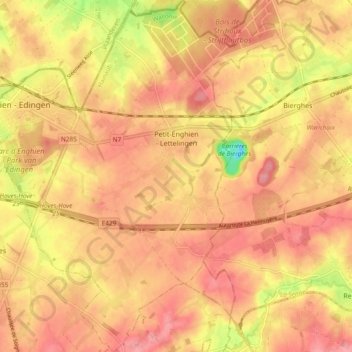
Name: Petit-Enghien topographic map, elevation, terrain.
Location: Petit-Enghien, Enghien, Ath, Hainaut, Wallonia, Belgium (50.65350 4.03724 50.71351 4.11410)
Average elevation: 66 m
Minimum elevation: 4 m
Maximum elevation: 93 m