
南丰镇 topographic map
Interactive map
Click on the map to display elevation.
About this map
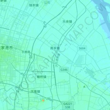
Name: 南丰镇 topographic map, elevation, terrain.
Location: 南丰镇, 张家港市, 苏州市, 江苏省, 中国 (31.80869 120.63063 31.91666 120.89166)
Average elevation: 4 m
Minimum elevation: 0 m
Maximum elevation: 63 m
Other topographic maps
Click on a map to view its topography, its elevation and its terrain.