
Gamalama topographic map
Interactive map
Click on the map to display elevation.
About this map
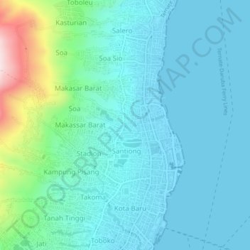
Name: Gamalama topographic map, elevation, terrain.
Location: Gamalama, Nordmolukken, 97716, Indonesien (0.77665 127.36194 0.81665 127.40194)
Average elevation: 77 m
Minimum elevation: -1 m
Maximum elevation: 452 m