
Lake Station topographic map
Interactive map
Click on the map to display elevation.
About this map
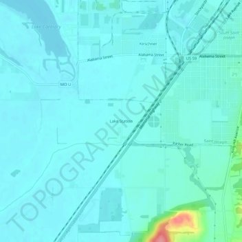
Name: Lake Station topographic map, elevation, terrain.
Average elevation: 253 m
Minimum elevation: 242 m
Maximum elevation: 333 m
Other topographic maps
Click on a map to view its topography, its elevation and its terrain.
Saint Joseph
United States > Missouri > Buchanan County
Saint Joseph, Buchanan County, Missouri, United States
Average elevation: 277 m