
Gros Bois topographic map
Interactive map
Click on the map to display elevation.
About this map
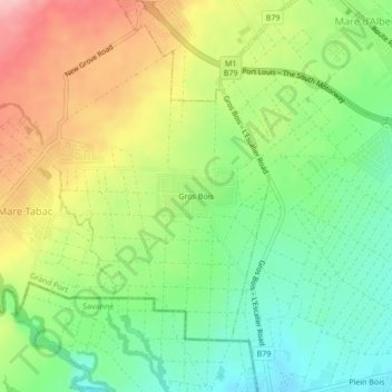
Name: Gros Bois topographic map, elevation, terrain.
Location: Gros Bois, Mare Tabac, Grand Port, 51108, Mauritius (-20.46133 57.59326 -20.42133 57.63326)
Average elevation: 176 m
Minimum elevation: 110 m
Maximum elevation: 267 m