
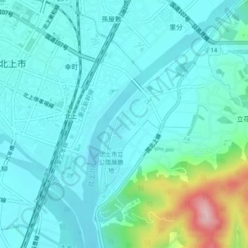
北上展勝地 topographic map
Interactive map
Click on the map to display elevation.
About this map
Name: 北上展勝地 topographic map, elevation, terrain.
Location: 北上展勝地, 北上花巻温泉自転車道線, 川岸三丁目, 北上市, 岩手县, 024-0033, 日本 (39.27998 141.12913 39.28008 141.12923)
Average elevation: 79 m
Minimum elevation: 45 m
Maximum elevation: 239 m