Geolocate

Mae Rim topographic map

Click on the map to display elevation.

About this map
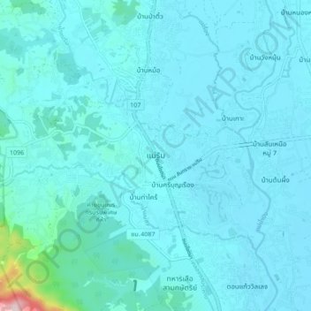
Name: Mae Rim topographic map, elevation, terrain.

Location: Mae Rim, Rim Nuea, Chiang Mai Province, 50180, Thailand (18.87446 98.90527 18.95446 98.98527)

Average elevation: 340 m

Minimum elevation: 309 m

Maximum elevation: 721 m

Gear up for your next adventure:

🧊Winter Boot Traction - Grip for icy paths in the Mourne or Derryveagh mountains
🥾Hiking Boots - Top hiking boots for Irish trails and rugged terrain
🚨Emergency Whistles - Safety whistles for hikers
🔦UV Flashlights - Search for minerals or inspect maps at night
📡Satellite Messengers - Emergency messaging when off‑grid

As an Amazon Associate, this site earns from qualifying purchases at no extra cost to you.