
Ansedonia topographic map
Interactive map
Click on the map to display elevation.
About this map
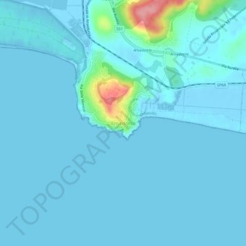
Name: Ansedonia topographic map, elevation, terrain.
Location: Ansedonia, Orbetello, Grosseto, Toscana, Italia (42.38728 11.26954 42.42728 11.30954)
Average elevation: 9 m
Minimum elevation: -6 m
Maximum elevation: 113 m
Other topographic maps
Click on a map to view its topography, its elevation and its terrain.
Fonteblanda
Italia > Toscana > Grosseto > Orbetello > Fonteblanda
Fonteblanda, Orbetello, Grosseto, Toscana, Italia
Average elevation: 15 m