
Shijing topographic map
Interactive map
Click on the map to display elevation.
About this map
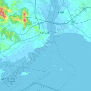
Name: Shijing topographic map, elevation, terrain.
Location: Shijing, Nan'an City, Quanzhou, Fujian, China (24.52861 118.32335 24.68878 118.48231)
Average elevation: 19 m
Minimum elevation: -1 m
Maximum elevation: 474 m
Other topographic maps
Click on a map to view its topography, its elevation and its terrain.
Tianzi
China > Fujian > Nan'an City > Tianzi
Tianzi, Nan'an City, Quanzhou, Fujian, China
Average elevation: 212 m