
Adana topographic map
Interactive map
Click on the map to display elevation.
About this map
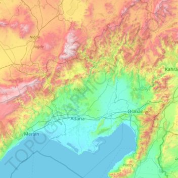
Name: Adana topographic map, elevation, terrain.
Location: Adana, Mediterranean Region, Turkey (36.26304 34.73930 38.40460 36.40958)
Average elevation: 879 m
Minimum elevation: -2 m
Maximum elevation: 3,603 m