
Son topographic map
Interactive map
Click on the map to display elevation.
About this map
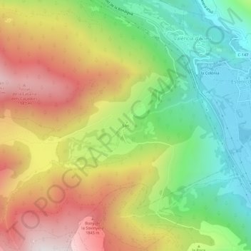
Name: Son topographic map, elevation, terrain.
Location: Son, Alt Àneu, Pallars Sobirá, Lérida, Cataluña, 25286, España (42.60039 1.07642 42.64039 1.11642)
Average elevation: 1,438 m
Minimum elevation: 942 m
Maximum elevation: 2,040 m