
Tin Sam topographic map
Interactive map
Click on the map to display elevation.
About this map
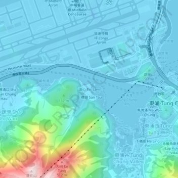
Name: Tin Sam topographic map, elevation, terrain.
Average elevation: 70 m
Minimum elevation: -16 m
Maximum elevation: 570 m
Other topographic maps
Click on a map to view its topography, its elevation and its terrain.
Airport Channel
China > Hong Kong > Islands District > 黃家圍 > Tin Sam
Airport Channel, Tin Sam, 黃家圍, Islands District, New Territories, Hong Kong, China
Average elevation: 32 m