Geolocate

Loch Rannoch topographic map

Click on the map to display elevation.

About this map

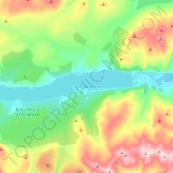
Name: Loch Rannoch topographic map, elevation, terrain.

Location: Loch Rannoch, Kinloch Rannoch, Perth and Kinross, Scotland, United Kingdom (56.67770 -4.44246 56.70396 -4.18853)

Average elevation: 469 m

Minimum elevation: 195 m

Maximum elevation: 1,042 m

Other topographic maps

Click on a map to view its topography, its elevation and its terrain.

Gear up for your next adventure:

🛡️Protective Bike Gear - Helmets & pads for safe rides
👣Waterproof Leg Gaiters - Keep bog water and debris out of your boots
🌧️Rain Gear for Hiking - Waterproof gear sets for wet hikes
🥘Camping Cookware Sets - Cookware sets for backpacking meals
🚰Hydration Packs - Hands‑free water storage for hikers

As an Amazon Associate, this site earns from qualifying purchases at no extra cost to you.