
Grijpskerk topographic map
Interactive map
Click on the map to display elevation.
About this map
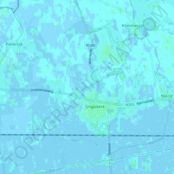
Name: Grijpskerk topographic map, elevation, terrain.
Location: Grijpskerk, Westerkwartier, Groningen, Niederlande (53.24508 6.27357 53.29322 6.34492)
Average elevation: 1 m
Minimum elevation: -3 m
Maximum elevation: 5 m