
Kampung Lepau topographic map
Interactive map
Click on the map to display elevation.
About this map
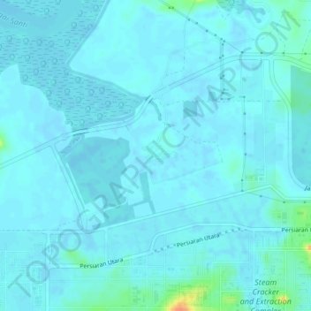
Name: Kampung Lepau topographic map, elevation, terrain.
Location: Kampung Lepau, Pengerang, Kota Tinggi, Johor, Malaysia (1.36870 104.13006 1.40870 104.17006)
Average elevation: 4 m
Minimum elevation: -1 m
Maximum elevation: 41 m