
Parc national des gorges de Rivière Noire topographic map
Interactive map
Click on the map to display elevation.
About this map
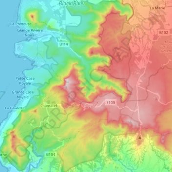
Name: Parc national des gorges de Rivière Noire topographic map, elevation, terrain.
Average elevation: 324 m
Minimum elevation: 0 m
Maximum elevation: 814 m