
Lloret topographic map
Interactive map
Click on the map to display elevation.
About this map
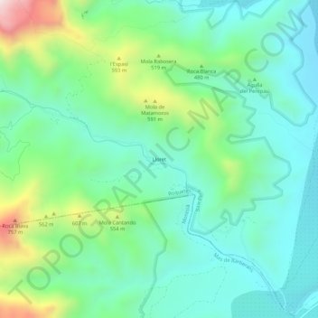
Name: Lloret topographic map, elevation, terrain.
Location: Lloret, Roquetes, Bajo Ebro, Tarragona, Cataluña, 43520, España (40.74725 0.35837 40.78725 0.39837)
Average elevation: 362 m
Minimum elevation: 162 m
Maximum elevation: 925 m