
Cantón topographic map
Interactive map
Click on the map to display elevation.
About this map
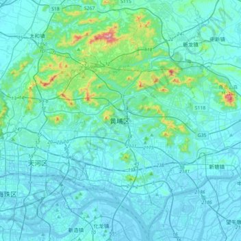
Name: Cantón topographic map, elevation, terrain.
Location: 黄埔区, Cantón, Guangdong, China (23.02245 113.31609 23.34245 113.63609)
Average elevation: 48 m
Minimum elevation: -12 m
Maximum elevation: 507 m
Other topographic maps
Click on a map to view its topography, its elevation and its terrain.