
Glaway topographic map
Interactive map
Click on the map to display elevation.
About this map
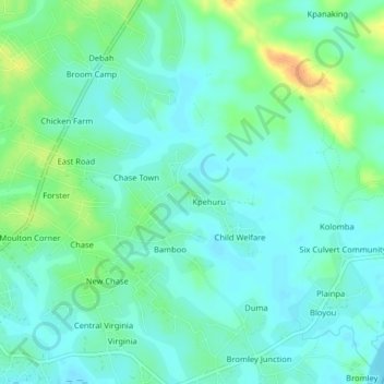
Name: Glaway topographic map, elevation, terrain.
Location: Glaway, St. Paul River, Montserrado County, Liberia (6.41192 -10.78070 6.45192 -10.74070)
Average elevation: 12 m
Minimum elevation: 2 m
Maximum elevation: 38 m