Geolocate

Uvs topographic map

Click on the map to display elevation.

About this map

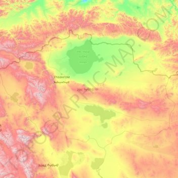
Name: Uvs topographic map, elevation, terrain.

Location: Uvs, Mongolia (48.42430 90.00230 50.88429 95.72599)

Average elevation: 1,526 m

Minimum elevation: 571 m

Maximum elevation: 4,095 m

Other topographic maps

Click on a map to view its topography, its elevation and its terrain.

Nalaikh

Mongolia > Ulaanbaatar > Nalaikh

Average elevation: 1,486 m

Gear up for your next adventure:

🪑Compact Camping Tables - Tables for campsite comfort
🔋Solar Power Banks - Keep your GPS and phone charged in the Irish wilderness
🔥Camping Stoves - Portable camping stoves for outdoor cooking
🐦Irish Bird Guides - Spot coastal and mountain birds during your hike
📷Compact Binoculars - High-definition optics for scouting terrain and wildlife

As an Amazon Associate, this site earns from qualifying purchases at no extra cost to you.