
芒宽乡 topographic map
Interactive map
Click on the map to display elevation.
About this map
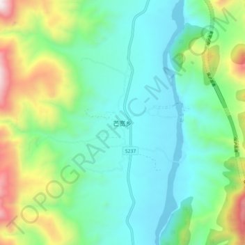
Name: 芒宽乡 topographic map, elevation, terrain.
Location: 芒宽乡, 保山市, 云南省, 中国 (25.40824 98.82891 25.48824 98.90891)
Average elevation: 1,107 m
Minimum elevation: 720 m
Maximum elevation: 2,180 m
Other topographic maps
Click on a map to view its topography, its elevation and its terrain.