Geolocate

Alshaheed Park topographic map

Click on the map to display elevation.

About this map
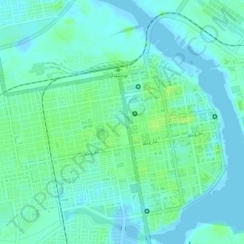
Name: Alshaheed Park topographic map, elevation, terrain.

Location: Alshaheed Park, Port Sudan, Red Sea State, Sudan (19.61845 37.21400 19.61934 37.21508)

Average elevation: 6 m

Minimum elevation: -10 m

Maximum elevation: 14 m

Other topographic maps

Click on a map to view its topography, its elevation and its terrain.
Khor Allay Miluk

Sudan > Red Sea State > Port Sudan

Average elevation: 559 m

Suakin

Sudan > Red Sea State > Port Sudan

Average elevation: 14 m

Gear up for your next adventure:

🪑Compact Camping Tables - Tables for campsite comfort
💺Camping Hammocks - Relax afloat camp setup
🛡️Protective Bike Gear - Helmets & pads for safe rides
🔭Portable Monoculars - One-handed optics for quick route checking
🧊Hydration Reservoirs - Easy drinking on the move with 2L or 3L bladders

As an Amazon Associate, this site earns from qualifying purchases at no extra cost to you.