
Calumpang topographic map
Interactive map
Click on the map to display elevation.
About this map
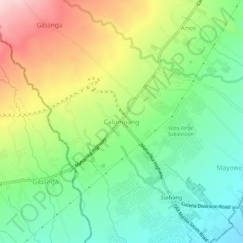
Name: Calumpang topographic map, elevation, terrain.
Location: Calumpang, Tayabas, Calabarzon, 4327, Philippines (13.95589 121.53687 13.99589 121.57687)
Average elevation: 193 m
Minimum elevation: 84 m
Maximum elevation: 367 m
Other topographic maps
Click on a map to view its topography, its elevation and its terrain.