Geolocate

Braidwood topographic map

Click on the map to display elevation.

About this map

Name: Braidwood topographic map, elevation, terrain.

Location: Braidwood, Will County, Illinois, 60408, United States (41.24865 -88.24653 41.29182 -88.18942)

Average elevation: 175 m

Minimum elevation: 165 m

Maximum elevation: 187 m

Other topographic maps

Click on a map to view its topography, its elevation and its terrain.

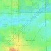
Marley

United States > Illinois > Will County

Average elevation: 214 m

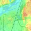
Drummond

United States > Illinois > Will County

Average elevation: 167 m

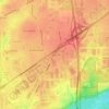
Puddle Pond

United States > Illinois > Will County > Plainfield

Average elevation: 187 m

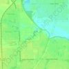
Arbury Hills

United States > Illinois > Will County

Average elevation: 216 m

Gear up for your next adventure:

🛶Kayaking & Water Sports Gear - Equip for water adventures
🔌Fast Car Chargers - Recharge GPS and phones between trailheads
🎒Backpack Rain Covers - Extra protection for non-waterproof rucksacks
🌲Survival Gear - Equipment for outdoor survival situations
📚Irish Walking Guides - The best mapped trails in Wicklow, Kerry, and Connemara

As an Amazon Associate, this site earns from qualifying purchases at no extra cost to you.