
Make a donation
Gear up for your next adventure:
As an Amazon Associate, this site earns from qualifying purchases at no extra cost to you.
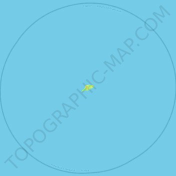
Tikei topographic map
Click on the map to display elevation.
Make a donation
Gear up for your next adventure:
As an Amazon Associate, this site earns from qualifying purchases at no extra cost to you.
Tikei
Tikei, also known as Manu, Tikai and Tiku is an island in the Tuamotu group in French Polynesia. Tikei is not a typical Tuamotu atoll, as its former lagoon filled in. The island is 3.9 kilometres (2.4 miles) long, 1.6 kilometres (1.0 mile) wide, and has a land area of 4 square kilometres (1.5 square miles). Its highest elevation is 3 metres (9.8 feet) above sea level
Make a donation
Gear up for your next adventure:
As an Amazon Associate, this site earns from qualifying purchases at no extra cost to you.
About this map
Name: Tikei topographic map, elevation, terrain.
Average elevation: 0 m
Minimum elevation: 0 m
Maximum elevation: 16 m
Make a donation
Gear up for your next adventure:
As an Amazon Associate, this site earns from qualifying purchases at no extra cost to you.
Other topographic maps
Click on a map to view its topography, its elevation and its terrain.