
Independencia topographic map
Interactive map
Click on the map to display elevation.
About this map
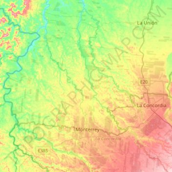
Name: Independencia topographic map, elevation, terrain.
Location: Independencia, Quinindé, Esmeraldas, Equador (-0.03963 -79.62549 0.11454 -79.35846)
Average elevation: 169 m
Minimum elevation: 86 m
Maximum elevation: 282 m