
Sandy Lane topographic map
Click on the map to display elevation.
About this map
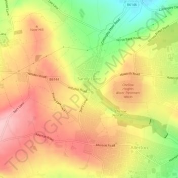
Name: Sandy Lane topographic map, elevation, terrain.
Location: Sandy Lane, Bradford, West Yorkshire, England, United Kingdom (53.80630 -1.84942 53.82159 -1.81753)
Average elevation: 230 m
Minimum elevation: 123 m
Maximum elevation: 308 m
Other topographic maps
Click on a map to view its topography, its elevation and its terrain.
Cackleshaw
United Kingdom > England > Bradford > Keighley > Oakworth > Cackleshaw
Average elevation: 219 m