
Stalon topographic map
Interactive map
Click on the map to display elevation.
About this map
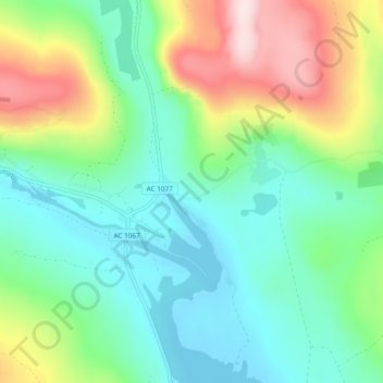
Name: Stalon topographic map, elevation, terrain.
Location: Stalon, Vilhelmina kommun, Västerbotten County, Sweden (64.92088 15.85406 64.96088 15.89406)
Average elevation: 449 m
Minimum elevation: 339 m
Maximum elevation: 701 m