Geolocate

Nayaro topographic map

Click on the map to display elevation.

About this map

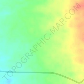
Name: Nayaro topographic map, elevation, terrain.

Location: Nayaro, Mimika, Central Papua, Western New Guinea, Indonesia (-4.33904 136.76470 -4.31904 136.78470)

Average elevation: 100 m

Minimum elevation: 74 m

Maximum elevation: 126 m

Gear up for your next adventure:

📦Gear Organizers - Organize outdoor equipment
📷Compact Binoculars - High-definition optics for scouting terrain and wildlife
🧴Anti-Chafe Sticks - Prevent friction during long distance walking
🥄Titanium Sporks - Indestructible and ultralight eating utensil
🪢Paracord & Ropes - Strong ropes for camping and gear

As an Amazon Associate, this site earns from qualifying purchases at no extra cost to you.