
白家庄村 topographic map
Interactive map
Click on the map to display elevation.
About this map
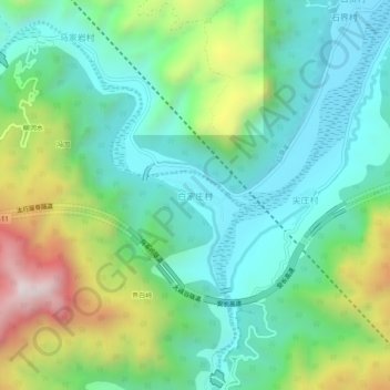
Name: 白家庄村 topographic map, elevation, terrain.
Location: 白家庄村, 林州市, 安阳市, 河南省, 中国 (36.23579 113.72379 36.27579 113.76379)
Average elevation: 702 m
Minimum elevation: 422 m
Maximum elevation: 1,370 m