
虎牢关村 topographic map
Interactive map
Click on the map to display elevation.
About this map
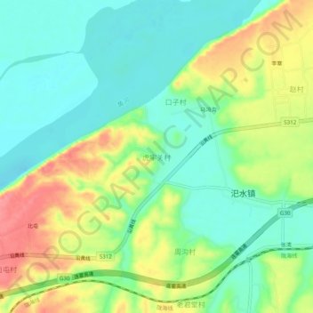
Name: 虎牢关村 topographic map, elevation, terrain.
Location: 虎牢关村, Xingyang, Zhengzhou, Henan, China (34.82998 113.17840 34.86998 113.21840)
Average elevation: 128 m
Minimum elevation: 95 m
Maximum elevation: 182 m