
Nazareth topographic map
Interactive map
Click on the map to display elevation.
About this map
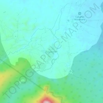
Name: Nazareth topographic map, elevation, terrain.
Location: Nazareth, Uribia, La Guajira, Colombia (12.15659 -71.30080 12.19659 -71.26080)
Average elevation: 95 m
Minimum elevation: 39 m
Maximum elevation: 378 m