
Linton topographic map
Click on the map to display elevation.
About this map
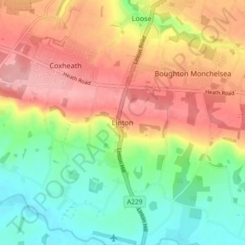
Name: Linton topographic map, elevation, terrain.
Location: Linton, Maidstone, Kent, England, ME17 4AW, United Kingdom (51.20411 0.49183 51.24411 0.53183)
Average elevation: 71 m
Minimum elevation: 10 m
Maximum elevation: 134 m
Other topographic maps
Click on a map to view its topography, its elevation and its terrain.
Leeds Castle
United Kingdom > England > Kent > Maidstone > Hollingbourne > Eyhorne Street
Average elevation: 81 m