
Bloemhof Dam Nature Reserve topographic map
Interactive map
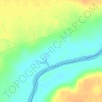
Click on the map to display elevation.
About this map
Name: Bloemhof Dam Nature Reserve topographic map, elevation, terrain.
Average elevation: 1,247 m
Minimum elevation: 1,232 m
Maximum elevation: 1,266 m
Other topographic maps
Click on a map to view its topography, its elevation and its terrain.
Bamboesspruit
RSA > North West > Maquassi Hills Local Municipality
Bamboesspruit, Maquassi Hills Local Municipality, Dr Kenneth Kaunda District Municipality, North West, RSA
Average elevation: 1,241 m