
山中湖 topographic map
Interactive map
Click on the map to display elevation.
About this map
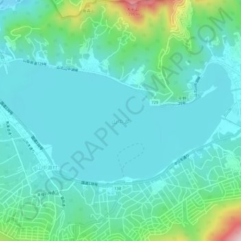
Name: 山中湖 topographic map, elevation, terrain.
Location: 山中湖, 山中湖村, 南都留郡, 山梨县, 日本 (35.40805 138.84953 35.42937 138.90121)
Average elevation: 1,030 m
Minimum elevation: 964 m
Maximum elevation: 1,314 m