
三田川 topographic map
Interactive map
Click on the map to display elevation.
About this map
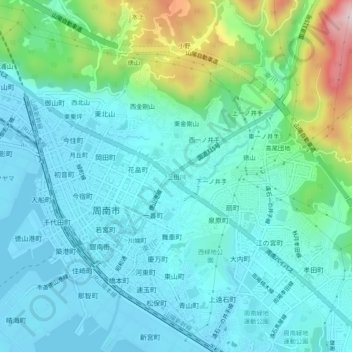
Name: 三田川 topographic map, elevation, terrain.
Location: 三田川, 周南市, 山口县, 745-0801, 日本 (34.03884 131.79603 34.07884 131.83603)
Average elevation: 76 m
Minimum elevation: -2 m
Maximum elevation: 377 m
Other topographic maps
Click on a map to view its topography, its elevation and its terrain.