
Make a donation
Gear up for your next adventure:
As an Amazon Associate, this site earns from qualifying purchases at no extra cost to you.
Oberbozen topographic map
Click on the map to display elevation.
Make a donation
Gear up for your next adventure:
As an Amazon Associate, this site earns from qualifying purchases at no extra cost to you.
Oberbozen
Oberbozen (italienisch Soprabolzano) ist eine Fraktion der Gemeinde Ritten in Südtirol (Italien). Das Dorf, zu dem auch der südwestlich anschließende Ortsteil Maria Himmelfahrt gehört, befindet sich auf dem Hochplateau des Ritten in 1220 m Höhe. Aufgrund des Höhenunterschiedes zur Landeshauptstadt Bozen sind die beiden Orte mit der Rittner Seilbahn verbunden, welche den Personentransport auf dem ehemaligen Zahnradabschnitt der Rittner Bahn übernommen hat.
Make a donation
Gear up for your next adventure:
As an Amazon Associate, this site earns from qualifying purchases at no extra cost to you.
About this map
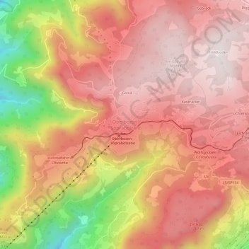
Name: Oberbozen topographic map, elevation, terrain.
Average elevation: 1,123 m
Minimum elevation: 616 m
Maximum elevation: 1,383 m
Make a donation
Gear up for your next adventure:
As an Amazon Associate, this site earns from qualifying purchases at no extra cost to you.