
Tarakan topographic map
Interactive map
Click on the map to display elevation.
About this map
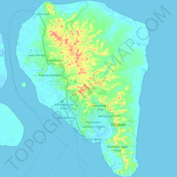
Name: Tarakan topographic map, elevation, terrain.
Location: Tarakan, Nord-Kalimantan, Indonesien (3.23952 117.51449 3.44343 117.66909)
Average elevation: 11 m
Minimum elevation: -2 m
Maximum elevation: 102 m