
Thank you for supporting this site ❤️
Make a donation
Make a donation
Gear up for your next adventure:
As an Amazon Associate, this site earns from qualifying purchases at no extra cost to you.
Harrling topographic map
Click on the map to display elevation.
Thank you for supporting this site ❤️
Make a donation
Make a donation
Gear up for your next adventure:
As an Amazon Associate, this site earns from qualifying purchases at no extra cost to you.
About this map
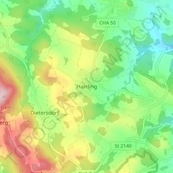
Name: Harrling topographic map, elevation, terrain.
Location: Harrling, Zandt, Landkreis Cham, Bayern, 93499, Deutschland (49.11487 12.69547 49.15487 12.73547)
Average elevation: 508 m
Minimum elevation: 406 m
Maximum elevation: 672 m
Thank you for supporting this site ❤️
Make a donation
Make a donation
Gear up for your next adventure:
As an Amazon Associate, this site earns from qualifying purchases at no extra cost to you.