
Heide topographic map
Interactive map
Click on the map to display elevation.
About this map
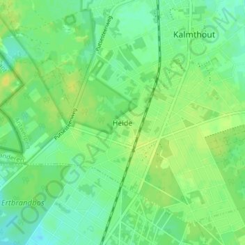
Name: Heide topographic map, elevation, terrain.
Location: Heide, Kalmthout, Antwerpen, Vlaanderen, 2920, België (51.34884 4.43750 51.38884 4.47750)
Average elevation: 22 m
Minimum elevation: 13 m
Maximum elevation: 30 m