
Finisklin topographic map
Click on the map to display elevation.
About this map
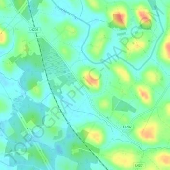
Name: Finisklin topographic map, elevation, terrain.
Average elevation: 69 m
Minimum elevation: 55 m
Maximum elevation: 100 m
County Sligo trails, hiking, mountain biking, running and outdoor activities
Other topographic maps
Click on a map to view its topography, its elevation and its terrain.
Easky
In Samuel Lewis's 1837 publication of A Topographical Dictionary of Ireland, Easky was described as having 6,124 inhabitants, of which 289 were in the village. Lewis noted that the village (made up of one long street) had petty sessions every fortnight and that Wednesday was market day. As well as other more…
Average elevation: 17 m