Geolocate

Lysos topographic map

Click on the map to display elevation.

About this map
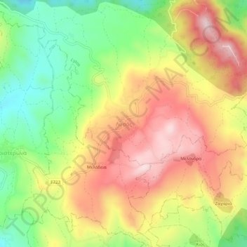
Name: Lysos topographic map, elevation, terrain.

Location: Lysos, Paphos District, Cyprus, 8800, Cyprus (34.97491 32.49201 35.01491 32.53201)

Average elevation: 470 m

Minimum elevation: 281 m

Maximum elevation: 655 m

Gear up for your next adventure:

🔦Everyday Carry Torches - Reliable backup light for your hiking pack
🥾Men's Waterproof Boots - Sturdy footwear for wet and boggy Irish terrain
🎒Fully Waterproof Rucksacks - Submersible protection for river crossings
🚰Hydration Packs - Hands‑free water storage for hikers
🏃Men's Trail Runners - Grip and speed for rugged Irish mountain running

As an Amazon Associate, this site earns from qualifying purchases at no extra cost to you.