
Woodward County topographic map
Interactive map
Click on the map to display elevation.
About this map
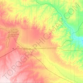
Name: Woodward County topographic map, elevation, terrain.
Location: Woodward County, Oklahoma, United States (36.16134 -99.60581 36.81933 -98.95577)
Average elevation: 575 m
Minimum elevation: 414 m
Maximum elevation: 768 m