
Marsum topographic map
Interactive map
Click on the map to display elevation.
About this map
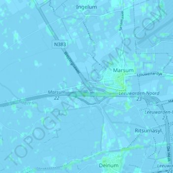
Name: Marsum topographic map, elevation, terrain.
Location: Marsum, Waadhoeke, Friesland, Nederland (53.19466 5.68529 53.22289 5.74711)
Average elevation: 0 m
Minimum elevation: -3 m
Maximum elevation: 4 m
Other topographic maps
Click on a map to view its topography, its elevation and its terrain.