
Tangare topographic map
Interactive map
Click on the map to display elevation.
About this map
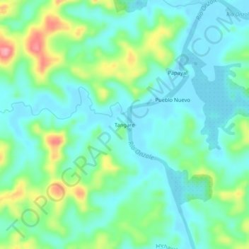
Name: Tangare topographic map, elevation, terrain.
Location: Tangare, Anchayaku, Eloy Alfaro, Esmeraldas, Equador (0.91457 -79.09182 0.95457 -79.05182)
Average elevation: 31 m
Minimum elevation: -8 m
Maximum elevation: 117 m