
Chasha topographic map
Interactive map
Click on the map to display elevation.
About this map
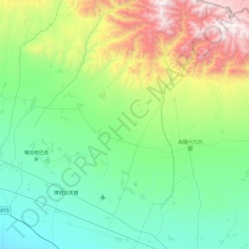
Name: Chasha topographic map, elevation, terrain.
Location: Chasha, Tacheng City, Tacheng Prefecture, Xinjiang, China (46.57087 83.29096 47.04886 83.63865)
Average elevation: 1,004 m
Minimum elevation: 453 m
Maximum elevation: 2,846 m