
Naranjal topographic map
Interactive map
Click on the map to display elevation.
About this map
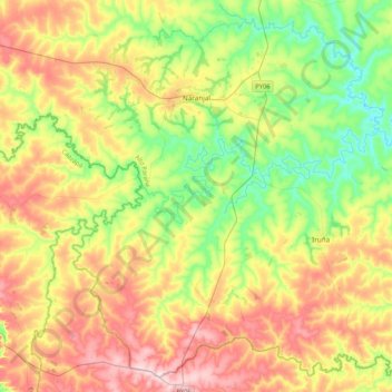
Name: Naranjal topographic map, elevation, terrain.
Location: Naranjal, Alto Paraná, Región Oriental, 7570, Paraguay (-26.24486 -55.40985 -25.89443 -54.98831)
Average elevation: 288 m
Minimum elevation: 172 m
Maximum elevation: 446 m