
Gober topographic map
Interactive map
Click on the map to display elevation.
About this map
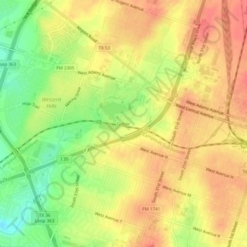
Name: Gober topographic map, elevation, terrain.
Location: Gober, Temple, Bell County, Texas, 76504, United States (31.07851 -97.38889 31.11851 -97.34889)
Average elevation: 209 m
Minimum elevation: 172 m
Maximum elevation: 233 m